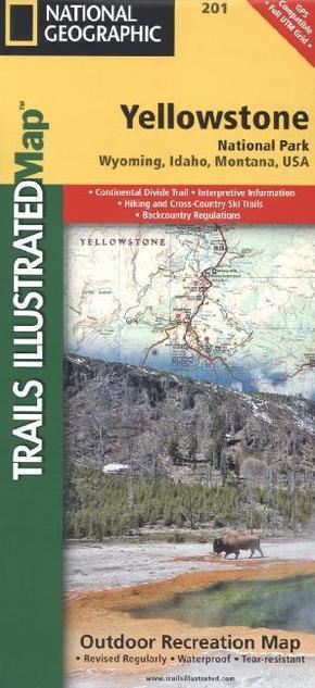
National Geographic Trails Illustrated Map Yellowstone National Park - Topographic Map. Waterproof. Tear-resistant. 1 : 126.720
| Verlag | National Geographic Maps |
| Auflage | 2012 |
| Format | 17,2 x 0,4 x 23,5 cm |
| Polychrome print. Folded | |
| Gewicht | 93 g |
| Artikeltyp | Karte |
| Reihe | National Geographic Trails Illustrated Map 201 |
| ISBN-10 | 1566952956 |
| EAN | 9781566952958 |
| Bestell-Nr | 56695295UA |
Yellowstone Nationalpark mit Wanderrouten und Infos
Trails Illustrated topographic maps are the most detailed and up-to-date recreation maps available for these national parks, national forests and popular outdoor recreation areas. Detailed and accurate coverage for Yellowstone National Park, this map includes a detailed road network and popular trails, complete with use restrictions, mileages, elevation gains, and difficulty ratings. Popular attractions and park services are clearly identified. UTM and Latitude/Longitude grids ensure ease of use with GPS or compass navigation.

