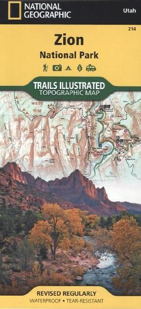
National Geographic Trails Illustrated Map Zion National Park - Topographic Map. Waterproof. Tear-resistent. 1 : 37.700
Reduzierte Artikel in dieser Kategorie

0,99 €
24,99 €
| Verlag | National Geographic Maps |
| Auflage | 2012 |
| Format | 17,2 x 0,5 x 23,0 cm |
| Polychrome print. Folded | |
| Gewicht | 96 g |
| Artikeltyp | Karte |
| Reihe | National Geographic Trails Illustrated Map 214 |
| ISBN-10 | 1566952972 |
| EAN | 9781566952972 |
| Bestell-Nr | 56695297UA |
Zion Nationalpark mit vielen Wanderstrecken: La Verkin Creek Trail, Hop Valley Trail, Wildcat Canyon, the West Rim Trail, and more. The South side of the map details the park headquarters, Floor of the Valley Road, East Rim Trail, -
National Geographic's Trails Illustrated Maps are the most detailed and up-to-date topographic recreation maps available for US National Parks, National Forests and other popular outdoor recreation areas. A necessity for exploring the outdoors, each map is printed on waterproof, tear-resistant material. They also contain key safety and contact information, GPS and compass coordinates, Leave No Trace ethical guidelines and hundreds of points-of-interest, including scenic viewpoints, campgrounds, boat launches, swimming areas, marine sanctuaries and wildlife refuges.
