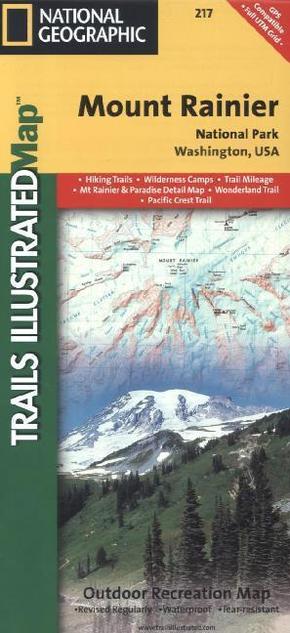
National Geographic Trails Illustrated Map Mount Rainier National Park, Washington, USA - Outdoor Recreation Map. Hiking Trails, Wilderness Camps, Trail Mileage. Mt Rainier & Paradise Detail Map, Wonderland Trail, Pacific Crest Trail. 1 : 55.000
Reduzierte Artikel in dieser Kategorie

Preisbindung aufgehoben3
0,99 €36,90 €3
0,99 €
Preisbindung aufgehoben3
24,99 €50,00 €3
24,99 €
Produktdetails
| Verlag | National Geographic Maps |
| Auflage | 2013 |
| Format | 10,9 x 23,4 x 0,5 cm |
| Polychrome print. Folded | |
| Gewicht | 98 g |
| Artikeltyp | Karte |
| Reihe | National Geographic Trails Illustrated Map 217 |
| ISBN-10 | 1566953456 |
| EAN | 9781566953450 |
| Bestell-Nr | 56695345UA |
Produktbeschreibung
Mount Rainier inkl. Cataract Valley, Mystic, Emmons Overlook, Indian Bar, Maple Creek, Snow Lake, Paradise River, Jackson und vielen anderen Campingplätzen
This Trails Illustrated topographic map is the most comprehensive recreational map for Washington's Mount Rainier National Park. Within the park, there is detailed coverage of Mount Rainier and its many glaciers; Eagles Roost, Cataract Valley, Mystic, Emmons Overlook, Indian Bar, Maple Creek, Snow Lake, Paradise River, Jackson and many other camping areas are also included. A detailed inset gives you a close-up view of the peak and trails leading to its glaciers. This map is printed on waterproof, tear-resistant material, ideal for the outdoors.
Mehr Angebote zum Thema
