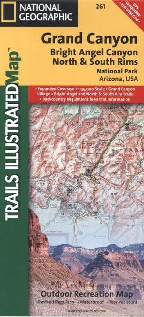
National Geographic Trails Illustrated Map Grand Canyon, Bright Angel Canyon, North & South Rims, National Park Arizona, - Outdoor Recreation Map. 1 : 35.000
Reduzierte Artikel in dieser Kategorie

Preisbindung aufgehoben3
0,99 €36,90 €3
0,99 €
Preisbindung aufgehoben3
24,99 €50,00 €3
24,99 €
Produktdetails
| Verlag | National Geographic Maps |
| Auflage | 2012 |
| Format | 10,6 x 23,6 x 0,5 cm |
| Polychrome print. Folded | |
| Gewicht | 94 g |
| Artikeltyp | Karte |
| Reihe | National Geographic Trails Illustrated Map 261 |
| ISBN-10 | 1566954959 |
| EAN | 9781566954952 |
| Bestell-Nr | 56695495UA |
Produktbeschreibung
Komplett neudesigned, verbesserter Maßstab und Infos zu den meistbesuchten Touristenattraktionen
A well-balanced mix of detailed cartography and handy resource information, coverage highlights for this Grand Canyon: Bright Angel Canyon/North and South Rims Trail Map include: Colorado River miles 60-98, North and South Rim visitor centers, Grand Canyon Village, Grand Canyon / National Geographic IMAX, Tusayan, Grand Canyon Railroad Station, Bright Angel Trail (plus elevation profile), West Rim Trail, Kaibab Trail, Arizona Trail, Grand Canyon Lodge, and more. A necessity for exploring in the outdoors, this map is printed on waterproof, tear-resistant material.
Mehr Angebote zum Thema
