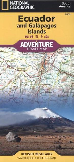
National Geographic Adventure Tarvel Map Ecuador and Galápagos Islands - Waterproof. Tear-resistent. 1 : 750.000
Reduzierte Artikel in dieser Kategorie

Produktdetails
| Verlag | National Geographic Maps |
| Auflage | 2011 |
| Format | 11,0 x 22,9 x 0,4 cm |
| Polychrome print. Folded | |
| Gewicht | 92 g |
| Artikeltyp | Karte |
| Reihe | National Geographic Adventure Travel Map 3403 |
| ISBN-10 | 1566955475 |
| EAN | 9781566955478 |
| Bestell-Nr | 56695547UA |
Produktbeschreibung
wasser- und reissfest; Sehenswürdigkeiten mit Naturschutzgebieten und historischen Attraktionen
AdventureMaps provide global travellers with the perfect combination of detail and perspective. The front side of this map shows the southern half of Ecuador including the provinces of Zamora, Chinchipe, Loja, El Oro, Azuay, CaEURar, Santa Elena, Guayas, Chimborazo, and Morona-Santiago. Galpagos is presented separately at larger scale, providing greater detail of the islands. Travellers to these unique islands often come to experience the unusual wildlife studied by Charles Darwin. Areas noted for their beaches, surfing, diving, and fishing are also marked out.
Mehr Angebote zum Thema
