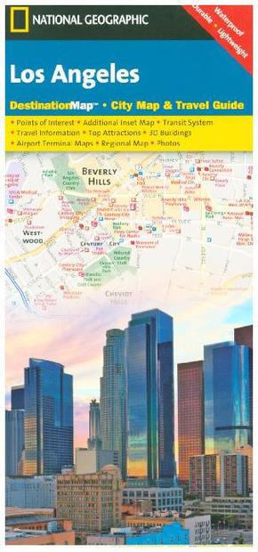
National Geographic DestinationMap Los Angeles - City Map & Travel Guide. Points of Interest, Additional Inset Map, Transit System, Travel Information, Top Attraction, 3D Buildings, Airport Terminal Maps, Regional Map, Photos. Waterproof, Durable, Ligh
Reduzierte Artikel in dieser Kategorie

Preisbindung aufgehoben3
0,99 €36,90 €3
0,99 €
Preisbindung aufgehoben3
24,99 €50,00 €3
24,99 €
Produktdetails
| Verlag | National Geographic Maps |
| Auflage | 2012 |
| Format | 12,4 x 0,5 x 22,5 cm |
| Polychrome print. Folded | |
| Gewicht | 44 g |
| Artikeltyp | Karte |
| Reihe | National Geographic DestinationMap |
| ISBN-10 | 1597750921 |
| EAN | 9781597750929 |
| Bestell-Nr | 59775092UA |
Produktbeschreibung
City Map inkl. Nebenkarte 'Downtown Las Vegas, Long Beach, Anaheim, the Westside; Flughafen-Plan LA International Airport & John Wayne Airport
CityDestinationMaps blend urban guidebook information with easy to read street maps, complete with 3D buildings. The maps are printed on waterproof, tear-resistant material that's lightweight yet very durable. Double-sided with beautiful photos and detailed travel information, in addition to the easy-to-read map on the front, the back of this Los Angeles map includes: Regional map; Points of interest; Inset maps of Downtown Los Angeles, Long Beach, Anaheim, and the Westside; Los Angeles International Airport and John Wayne (Orange County) airport diagrams.
Mehr Angebote zum Thema
