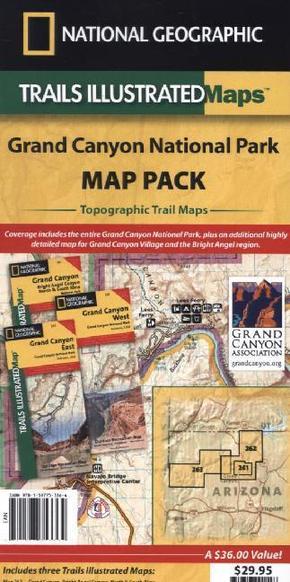
National Geographic Trails Illustrated Map Grand Canyon National Park Map Pack, 3 maps - Topographic Trail Maps. 1 : 35.000 ; 1 : 90.000
| Verlag | National Geographic Maps |
| Auflage | 2012 |
| Format | 11,0 x 27,0 x 2,2 cm |
| Polychrome print. Folded | |
| Gewicht | 298 g |
| Artikeltyp | Karte |
| Reihe | National Geographic Trails Illustrated Map |
| ISBN-10 | 159775336X |
| EAN | 9781597753364 |
| Bestell-Nr | 59775336UA |
Seeking the best combination of detailed maps and value for your Grand Canyon National Park trip, then get our bundle pack. National Geographic's new collection of Trails Illustrated maps for the Grand Canyon National Park are the most comprehensive and up-to-date maps available. The 3 map set, provides two unique perspectives on the park; a comprehensive overview of the entire park and its neighboring public lands, via two maps and an enhanced detail map of the high-use area around the central Grand Canyon including Grand Canyon Village and the Bright Angel Trail.

